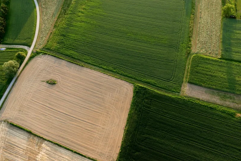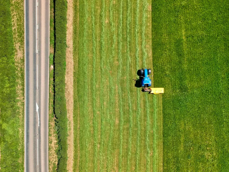
Digital Harvests, Analogue Boundaries: Britain's Agricultural Mapping Crisis
Modern British farms deploy cutting-edge satellite technology and autonomous machinery, yet remain constrained by fragmented rural mapping systems that predate the digital revolution. The disconnect between precision agriculture capabilities and outdated geospatial infrastructure is costing the sector millions annually.